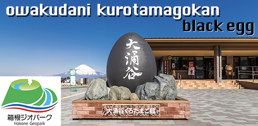

A geopark refers to a unified natural area with a significant geological heritage. Hakone received this designation in 2012, when the region’s long history of volcanic activity and the distinctive natural environment formed as a result were recognized by the Japanese Geoparks Council. Hakone Geopark lies at the intersection of four tectonic plates: the Eurasian, Philippine Sea, North American, and Pacific. This has made the area a unique geological focal point for hundreds of thousands of years. You can learn about this long history, the present state of the Hakone volcano, and its many hazards at the Hakone Geo Museum in Owakudani. Opened in 2014, this facility houses interactive exhibits and dioramas that cover the origins of the landscape currently seen outside its windows, but no digital displays. That is because such equipment cannot withstand the sulfuric gases emitted from Owakudani—the center of the volcano and the key to understanding Hakone’s geological origins. After viewing the Geo Museum’s exhibits, you can step outside to take a closer look at Owakudani, as well as contemplate the volcanic peaks of Mt. Kanmuri and Mt. Kami, Lake Ashi, and the Sengokuhara wetlands.
This English-language text was created by the Japan Tourism Agency.